 Akuna
Akuna
Current Status
Where is the vessel?
Akuna is currently in 18 nm E of Boyne Island, based on AIS data received about 14h ago.
Latest AIS update:
Current position: 23.85169° S, 151.66666° E (18 nm E of Boyne Island)
Average speed (last 7 days): Loading…
Average speed (last 30 days): Loading…
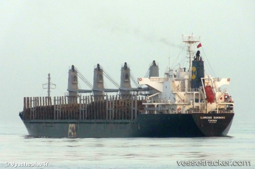
Vessel profile: Akuna is a Cement Carrier with dimensions 170m x 27m.
This page combines live AIS, route history, probable destination signals, nearby traffic, and port activity for practical vessel monitoring.
The current position of vessel Akuna is -23.85169 lat / 151.66666 lng. Updated: 2026-05-23 23:52:15 UTCNearest reference points:
- Near Boyne Island
- Near Gladstone Harbor
- Near ROSSLYN
Currently sailing under the flag of Bahamas ![]()
Akuna built in 2009 year
Deadweight:
28306 tDetails:
Live Vessel Akuna Analytics (details, animations, etc.)
Recent AIS points (UTC):
2026-05-23 19:51:39 UTC · -23.78731, 151.17610 · SOG 0 kn · COG 132°2026-05-23 22:15:57 UTC · -23.92310, 151.43021 · SOG 10 kn · COG 122°
2026-05-23 22:42:25 UTC · -23.90808, 151.49936 · SOG 9.9 kn · COG 43°
2026-05-23 23:52:15 UTC · -23.85169, 151.66666 · SOG 10.2 kn · COG 108°