 SONGA PUMA
Current Status
Where is the vessel?
SONGA PUMA is currently in 107 nm S of Barahona, based on AIS data received about 14h ago.
Latest AIS update:
Current position: 16.42445° N, 71.13235° W (107 nm S of Barahona)
Average speed (last 7 days): Loading…
Average speed (last 30 days): Loading…
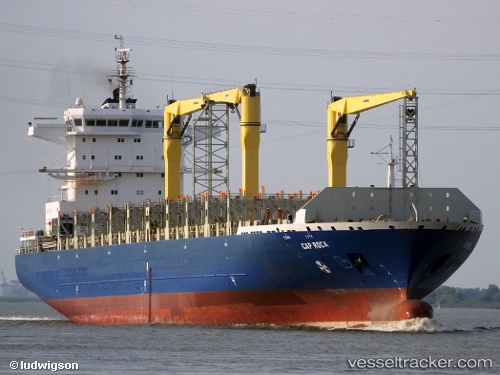
Vessel profile: SONGA PUMA is a Container Ship with dimensions 31m x 225m.
This page combines live AIS, route history, probable destination signals, nearby traffic, and port activity for practical vessel monitoring.
The current position of vessel SONGA PUMA is 16.42445 lat / -71.13235 lng. Updated: 2026-05-23 22:31:20 UTCNearest reference points:
- Near Bahia De Las Calderas
- Near CASA DE CAMPO
Currently sailing under the flag of Liberia ![]()
SONGA PUMA built in 2009 year
Deadweight:
34700 tDetails:
Live Vessel SONGA PUMA Analytics (details, animations, etc.)
Recent AIS points (UTC):
2026-05-23 19:11:00 UTC · 15.86167, -71.57500 · SOG 12 kn · COG -1°2026-05-23 20:22:13 UTC · 16.04276, -71.43535 · SOG 9.1 kn · COG 38°
2026-05-23 21:40:57 UTC · 16.28167, -71.24333 · SOG 13 kn · COG -1°
2026-05-23 22:31:20 UTC · 16.42445, -71.13235 · SOG 12.8 kn · COG -1°