 BMI EAGLE
Current Status
Where is the vessel?
BMI EAGLE is currently in 38 nm SW of Jeddah, based on AIS data received about 15h ago.
Latest AIS update:
Current position: 20.93882° N, 38.74447° E (38 nm SW of Jeddah)
Average speed (last 7 days): Loading…
Average speed (last 30 days): Loading…
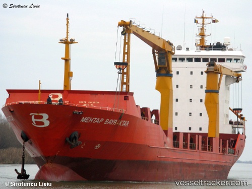
Vessel profile: BMI EAGLE is a Container Ship with dimensions m x m.
This page combines live AIS, route history, probable destination signals, nearby traffic, and port activity for practical vessel monitoring.
The current position of vessel BMI EAGLE is 20.93882 lat / 38.74447 lng. Updated: 2026-05-23 16:18:12 UTCNearest reference points:
- 10 nm SW of Jeddah
- Near Jeddah
- Near Tusdeer Free Zone
Currently sailing under the flag of Liberia ![]()
Details:
Live Vessel BMI EAGLE Analytics (details, animations, etc.)
Recent AIS points (UTC):
2026-05-23 13:25:12 UTC · 21.02006, 38.74032 · SOG 2 kn · COG 249°2026-05-23 14:09:08 UTC · 20.99813, 38.74548 · SOG 2 kn · COG 252°
2026-05-23 15:27:59 UTC · 20.95722, 38.75120 · SOG 1.8 kn · COG 262°
2026-05-23 16:18:12 UTC · 20.93882, 38.74447 · SOG 5.9 kn · COG 332°