 KAIRIIN
Current Status
Where is the vessel?
KAIRIIN is currently in Near Mölle, based on AIS data received about 15h ago.
Latest AIS update:
Current position: 56.29035° N, 12.39689° E (Near Mölle)
Average speed (last 7 days): Loading…
Average speed (last 30 days): Loading…
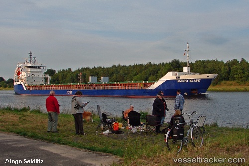
Vessel profile: KAIRIIN is a General Cargo with dimensions m x m.
This page combines live AIS, route history, probable destination signals, nearby traffic, and port activity for practical vessel monitoring.
The current position of vessel KAIRIIN is 56.29035 lat / 12.39689 lng. Updated: 2026-05-24 00:15:49 UTCNearest reference points:
- Near Viken
- Near Helsingor
- Near Halsingborg
Currently sailing under the flag of Antigua and Barbuda ![]()
Details:
Live Vessel KAIRIIN Analytics (details, animations, etc.)
Recent AIS points (UTC):
2026-05-23 20:21:19 UTC · 55.67538, 12.69079 · SOG 10.5 kn · COG 357°2026-05-23 22:24:49 UTC · 56.02582, 12.67598 · SOG 10.2 kn · COG 342°
2026-05-23 23:06:40 UTC · 56.12068, 12.54918 · SOG 10.2 kn · COG 317°
2026-05-24 00:15:49 UTC · 56.29035, 12.39689 · SOG 10.1 kn · COG 345°