 vesseltracker.com
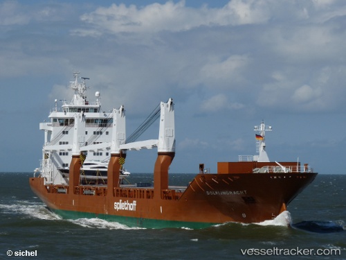
Find the position of the vessel Dolfijngracht on the map. The latter are known coordinates and path.
marine traffic ship tracker show on live map
The current position of vessel Dolfijngracht is -14.3133 lat / 124.042 lng. Updated: 2024-04-24 20:34:14 UTCCurrently sailing under the flag of Netherlands
Dolfijngracht built in 2009 year
Port of registry:
Amsterdam (capital and most populous city of the Netherlands)Deadweight:
17967 tPayload_mass:
17967 tonneGross tonnage:
13706Beam:
22.81 metreService entry:
2009-01-01T00:00:00ZManufacturer:
CSC Jinling (shipyard in Nanjing).jpg)
Details:
Last coordinates of the vessel:
UTC, -14.0833, 124.357, course: -1, speed: 12UTC, -14.1733, 124.225, course: -1, speed: 12
UTC, -14.2033, 124.183, course: -1, speed: 12
2024-04-24 20:34:14 UTC, -14.3133, 124.042, course: -1, speed: 12