 vesseltracker.com
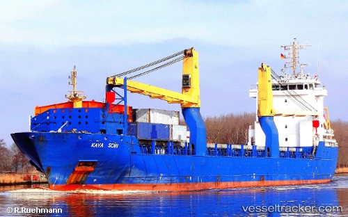
Find the position of the vessel KATHRIN on the map. The latter are known coordinates and path.
marine traffic ship tracker show on live map
The current position of vessel KATHRIN is 2.64795 lat / -9.68278 lng. Updated: 2024-04-19 00:00:14 UTCCurrently sailing under the flag of Portugal
KATHRIN built in 2010 year
Port of registry:
Saint John's (capital city of Antigua and Barbuda)Speed:
15 knotDeadweight:
7984 tPayload_mass:
7984.5 tonneGross tonnage:
7138Service entry:
2010-01-01T00:00:00ZDetails:
Last coordinates of the vessel:
UTC, 2.92353, -9.93634, course: 138, speed: 8.1UTC, 2.86513, -9.88401, course: 138, speed: 8.1
UTC, 2.7365, -9.76489, course: 135, speed: 8.6
2024-04-19 00:00:14 UTC, 2.64795, -9.68278, course: 134, speed: 7.9