 vesseltracker.com
Find the position of the vessel Annemieke on the map. The latter are known coordinates and path.
marine traffic ship tracker show on live map
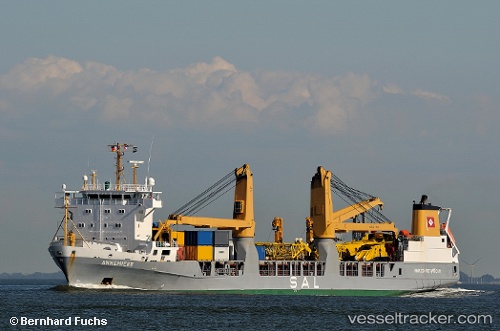
The current position of vessel Annemieke is -30.0497 lat / 36.8235 lng. Updated: 2024-04-20 10:21:16 UTCCurrently sailing under the flag of Antigua Barbuda
Annemieke built in 1998 year
Port of registry:
Saint John's (capital city of Antigua and Barbuda)Speed:
19 knotDeadweight:
9544 tPayload_mass:
9544 tonneGross tonnage:
8388Service entry:
1998-01-01T00:00:00ZManufacturer:
Pella Sietas
Details:
Last coordinates of the vessel:
UTC, -29.3669, 38.4429, course: 241, speed: 15.8UTC, -29.5427, 38.0202, course: 244, speed: 15.9
UTC, -29.8054, 37.4154, course: 244, speed: 16.6
2024-04-20 10:21:16 UTC, -30.0497, 36.8235, course: 247, speed: 16.8