 vesseltracker.com
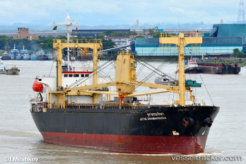
Find the position of the vessel BEST 8 on the map. The latter are known coordinates and path.
marine traffic ship tracker show on live map
The current position of vessel BEST 8 is 46.324 lat / 30.6682 lng. Updated: 2024-04-20 00:09:12 UTCCurrently sailing under the flag of Palau (Republic of)
BEST 8 built in 1995 year
Deadweight:
8691 tPayload_mass:
8691 tonneGross tonnage:
6275Service entry:
1995-01-01T00:00:00ZDetails:
Last coordinates of the vessel:
UTC, 46.3106, 30.7039, course: 220, speed: 0UTC, 46.324, 30.6682, course: 306, speed: 0
UTC, 46.324, 30.6682, course: 306, speed: 0
2024-04-20 00:09:12 UTC, 46.324, 30.6682, course: 306, speed: 0