 vesseltracker.com
Find the position of the vessel Sunbeam on the map. The latter are known coordinates and path.
marine traffic ship tracker show on live map
The current position of vessel Sunbeam is 51.391848333333 lat / 4.1743483333333 lng. Updated: 2025-10-30 03:23:21 UTCCurrently sailing under the flag of Marshall Is
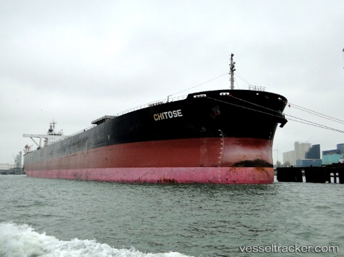
Sunbeam built in 2000 year
Deadweight:
171199 tDetails:
Last coordinates of the vessel:
UTC, 51.391848333333, 4.1743483333333, course: 45, speed: 10.6UTC, 51.391848333333, 4.1743483333333, course: 45, speed: 10.6
UTC, 51.391848333333, 4.1743483333333, course: 45, speed: 10.6
UTC, 51.391848333333, 4.1743483333333, course: 45, speed: 10.6
UTC, 51.391848333333, 4.1743483333333, course: 45, speed: 10.6
2025-10-30 03:23:21 UTC, 51.391848333333, 4.1743483333333, course: 45, speed: 10.6