vessel 'CAPE FRIENDSHIP' IMO: 9327736, vesseltracker.com
Vessel 'CAPE FRIENDSHIP' IMO: 9327736,
MMSI: 538006665 callsign: size: x

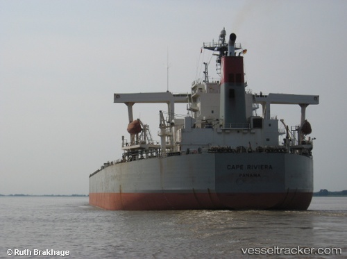
Find the position of the vessel 'CAPE FRIENDSHIP' on the map. The latter are known coordinates and path.

marine traffic ship tracker show on live map

The current position of vessel 'CAPE FRIENDSHIP' is 22.0478 lat / -52.2904 lng. Updated: 2024-04-24 21:21:16 UTC
Speed:
24.5 knot
Payload_mass:
185879 tonne
Gross tonnage:
93006
Service entry:
2005-01-01T00:00:00Z
Details:


Last coordinates of the vessel:
UTC, 22.4955, -51.4468, course: 238, speed: 15.4
UTC, 22.1368, -52.118, course: 242, speed: 15.3
UTC, 22.11, -52.1723, course: 241, speed: 15.4
2024-04-24 21:21:16 UTC, 22.0478, -52.2904, course: 242, speed: 15.3

Track of the vessel in the last 14 days


Most frequent ports a vessels calls at 'CAPE FRIENDSHIP' (538006665):

Algeciras, traffic: 7
Strait Of Gibraltar, traffic: 6
Santa Marta, traffic: 5
Botas, traffic: 2
Canakkale, traffic: 1
Gelibolu, traffic: 1
Maltepe, traffic: 1

Link to the map:


Find another ship

'CAPE_FRIENDSHIP' (538006665) last ports (portcalls and passsages)

Algeciras | 2022-12-19 23:14:59
Santa Marta | 2022-11-08 18:06:29
Santa Marta | 2022-09-07 01:54:39
Algeciras | 2022-08-25 13:34:11
Canakkale | 2022-08-20 10:24:30
Maltepe | 2022-08-19 16:29:15
Gelibolu | 2022-06-26 16:55:21
Botas | 2022-06-22 19:41:17
Botas | 2022-06-18 19:23:44
Algeciras | 2022-05-05 22:48:39
Santa Marta | 2022-03-13 12:22:10
Strait Of Gibraltar | 2022-03-01 07:00:03
Algeciras | 2022-02-28 13:10:07
Strait Of Gibraltar | 2022-01-23 02:35:39
Santa Marta | 2022-01-06 02:35:54
Strait Of Gibraltar | 2021-12-24 07:20:00
Algeciras | 2021-12-23 10:05:09