vessel '538009452' IMO: 9346342, vesseltracker.com
Vessel '538009452' IMO: 9346342,
MMSI: 538009452 callsign: size: x

Find the position of the vessel '538009452' on the map. The latter are known coordinates and path.

marine traffic ship tracker show on live map
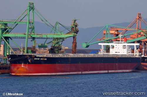
Gross tonnage:
104725
Service entry:
2005-01-01T00:00:00Z
Details:


Track of the vessel in the last 14 days


Most frequent ports a vessels calls at '538009452' (538009452):

Taranto, traffic: 12
Sambu, traffic: 8
Singapore, traffic: 6
Kalamai, traffic: 3
Strait Of Gibraltar, traffic: 3
Port Elizabeth, traffic: 1
Cagliari, traffic: 1
Fujairah, traffic: 1
Tanjung Perak, traffic: 1
Tanjong Perak, traffic: 1
Sao Luiz, traffic: 1
Algeciras, traffic: 1

Link to the map:


Find another ship

'538009452' (538009452) last ports (portcalls and passsages)

Tanjong Perak | 2023-12-25 02:02:39
Port Elizabeth | 2022-11-20 08:19:56
Fujairah | 2022-11-05 05:27:35
Sao Luiz | 2022-09-24 04:32:20
Strait Of Gibraltar | 2022-09-09 11:05:03
Algeciras | 2022-09-09 01:56:41
Cagliari | 2022-09-05 04:27:59
Kalamai | 2022-09-02 07:27:15
Kalamai | 2022-08-29 04:59:00
Kalamai | 2022-08-25 04:37:54
Taranto | 2022-07-14 19:34:36
Taranto | 2022-07-10 19:22:37
Taranto | 2022-07-06 19:02:48
Taranto | 2022-06-13 04:20:26
Taranto | 2022-05-26 16:49:24
Taranto | 2022-05-22 16:40:31
Taranto | 2022-05-18 16:28:15
Taranto | 2022-05-14 13:48:04
Taranto | 2022-05-10 13:29:47
Taranto | 2022-05-06 13:18:37
Taranto | 2022-05-02 12:51:16
Taranto | 2022-04-17 18:45:53
Strait Of Gibraltar | 2022-04-12 21:02:02
Sambu | 2022-01-27 11:10:48
Singapore | 2022-01-26 22:25:24
Sambu | 2021-12-28 03:55:40
Sambu | 2021-12-28 03:00:40
Sambu | 2021-12-28 02:55:21