 vesseltracker.com
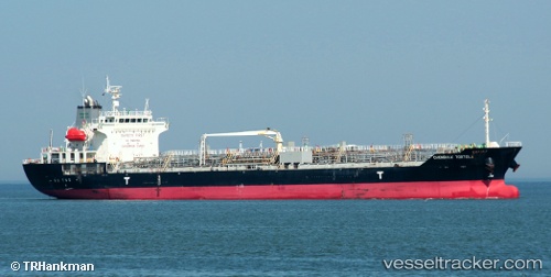
Find the position of the vessel 'AMIAS' on the map. The latter are known coordinates and path.
marine traffic ship tracker show on live map
The current position of vessel 'AMIAS' is 24.5578 lat / 56.7214 lng. Updated: 2024-04-24 14:03:30 UTCPort of registry:
Majuro (coral atoll, capital of the Marshall Islands)Payload_mass:
20809 tonneGross tonnage:
11534Service entry:
2007-01-01T00:00:00ZManufacturer:
Kitanihon ShipbuildingDetails:
Last coordinates of the vessel:
UTC, 24.5579, 56.7214, course: 196, speed: 0.1UTC, 24.5578, 56.7214, course: 196, speed: 0.1
UTC, 24.5579, 56.7213, course: 196, speed: 0.1
2024-04-24 14:03:30 UTC, 24.5578, 56.7214, course: 196, speed: 0.1