 vesseltracker.com
Find the position of the vessel HENRY on the map. The latter are known coordinates and path.
marine traffic ship tracker show on live map
The current position of vessel HENRY is 58.192 lat / -9.14811 lng. Updated: 2024-04-23 20:46:31 UTCCurrently sailing under the flag of Vietnam
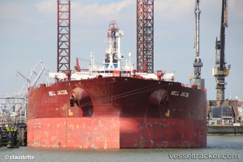
HENRY built in 2003 year
Port of registry:
Monrovia (capital city of Liberia)Deadweight:
159999 tPayload_mass:
159999 tonneGross tonnage:
81236Service entry:
2003-01-01T00:00:00ZManufacturer:
Samsung Heavy Industries (South Korean shipbuilding company)Details:
Last coordinates of the vessel:
UTC, 57.2965, -9.83391, course: 25, speed: 13.3UTC, 58.114, -9.20317, course: 20, speed: 13.4
UTC, 58.192, -9.14811, course: 22, speed: 13.5
2024-04-23 20:46:31 UTC, 58.192, -9.14811, course: 22, speed: 13.5