 vesseltracker.com
Find the position of the vessel '636020787' on the map. The latter are known coordinates and path.
marine traffic ship tracker show on live map
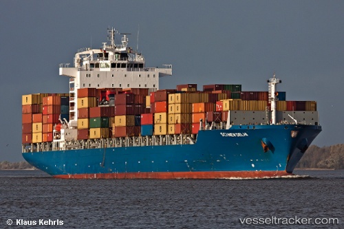
The current position of vessel '636020787' is 18.4772 lat / 71.5679 lng. Updated: 2024-04-20 00:00:55 UTCPort of registry:
Majuro (coral atoll, capital of the Marshall Islands)Speed:
23.5 knotPayload_mass:
41975 tonneGross tonnage:
36007Operator:
Fleet Management Limited (ship management company)Service entry:
2009-01-01T00:00:00ZDetails:
Last coordinates of the vessel:
UTC, 18.0551, 70.3595, course: 75, speed: 16.4UTC, 18.4772, 71.5679, course: 52, speed: 16.3
UTC, 18.4772, 71.5679, course: 52, speed: 16.3
2024-04-20 00:00:55 UTC, 18.4772, 71.5679, course: 52, speed: 16.3