 vesseltracker.com
Find the position of the vessel Kem on the map. The latter are known coordinates and path.
marine traffic ship tracker show on live map
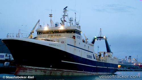
The current position of vessel Kem is 74.2002 lat / 41.8784 lng. Updated: 2024-04-24 21:23:44 UTCPayload_mass:
1086 tonneGross tonnage:
2545Service entry:
1985-01-01T00:00:00ZManufacturer:
Orskov Yard.jpg)
Details:
Last coordinates of the vessel:
UTC, 74.3002, 41.9426, course: 190, speed: 2.8UTC, 74.2642, 41.8864, course: 190, speed: 2.6
UTC, 74.2095, 41.8665, course: 164, speed: 2.6
2024-04-24 21:23:44 UTC, 74.2002, 41.8784, course: 165, speed: 2.7