 KHUDAYAR YUSIFZADE
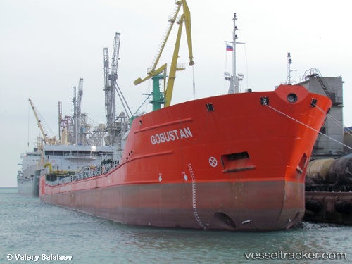
Current Status
Where is the vessel?
KHUDAYAR YUSIFZADE is currently in Near RUMELI FENERI, based on AIS data received about 16h ago.
Latest AIS update:
Current position: 41.27320° N, 28.97230° E (Near RUMELI FENERI)
Average speed (last 7 days): Loading…
Average speed (last 30 days): Loading…
Vessel profile: KHUDAYAR YUSIFZADE is a Oil/Chemical Tanker with dimensions m x m.
This page combines live AIS, route history, probable destination signals, nearby traffic, and port activity for practical vessel monitoring.
The current position of vessel KHUDAYAR YUSIFZADE is 41.27320 lat / 28.97230 lng. Updated: 2026-05-23 19:49:45 UTCNearest reference points:
- Near RUMELI FENERI
- Near Istinye/Istambul
- Near Arnavutköy/Istambul
Currently sailing under the flag of Guinea ![]()
Details:
Live Vessel KHUDAYAR YUSIFZADE Analytics (details, animations, etc.)
Recent AIS points (UTC):
2026-05-23 16:15:43 UTC · 41.38858, 29.03689 · SOG 7.3 kn · COG 199°2026-05-23 18:13:46 UTC · 41.27301, 28.97222 · SOG 0.1 kn · COG 314°
2026-05-23 19:43:45 UTC · 41.27321, 28.97232 · SOG 0 kn · COG 310°
2026-05-23 19:49:45 UTC · 41.27320, 28.97230 · SOG 0 kn · COG 309°