 HAI LONG
Current Status
Where is the vessel?
HAI LONG is currently in 35 nm NE of PENGERANG, based on AIS data received about 14h ago.
Latest AIS update:
Current position: 1.63602° N, 104.67373° E (35 nm NE of PENGERANG)
Average speed (last 7 days): Loading…
Average speed (last 30 days): Loading…
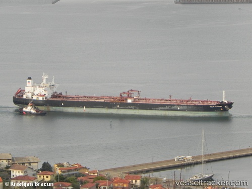
Vessel profile: HAI LONG is a Crude Oil Tanker with dimensions m x m.
This page combines live AIS, route history, probable destination signals, nearby traffic, and port activity for practical vessel monitoring.
The current position of vessel HAI LONG is 1.63602 lat / 104.67373 lng. Updated: 2026-05-23 23:19:00 UTCNearest reference points:
- 34 nm NE of PENGERANG
- 38 nm E of PENGERANG
- 45 nm NE of PENGERANG
Currently sailing under the flag of Malawi ![]()
Details:
Live Vessel HAI LONG Analytics (details, animations, etc.)
Recent AIS points (UTC):
2026-05-23 20:10:16 UTC · 1.63305, 104.67210 · SOG 0.2 kn · COG 67°2026-05-23 21:43:29 UTC · 1.63593, 104.67393 · SOG 0 kn · COG -1°
2026-05-23 22:05:39 UTC · 1.63590, 104.67389 · SOG 0.1 kn · COG -1°
2026-05-23 23:19:00 UTC · 1.63602, 104.67373 · SOG 0 kn · COG -1°