 MARSA ZENITH
Current Status
Where is the vessel?
MARSA ZENITH is currently in 45 nm S of Veraval, based on AIS data received about 14h ago.
Latest AIS update:
Current position: 20.19474° N, 70.06191° E (45 nm S of Veraval)
Average speed (last 7 days): Loading…
Average speed (last 30 days): Loading…
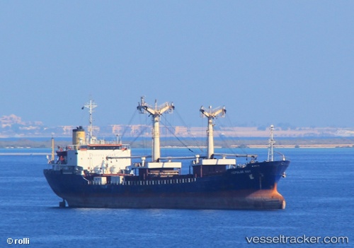
Vessel profile: MARSA ZENITH is a Container Ship with dimensions m x m.
This page combines live AIS, route history, probable destination signals, nearby traffic, and port activity for practical vessel monitoring.
The current position of vessel MARSA ZENITH is 20.19474 lat / 70.06191 lng. Updated: 2026-05-23 11:34:32 UTCNearest reference points:
- 33 nm S of Mul Dwårka
- Near Jafarabad
- Near Port Pipavav
Currently sailing under the flag of Panama ![]()
Details:
Live Vessel MARSA ZENITH Analytics (details, animations, etc.)
Recent AIS points (UTC):
2026-05-23 04:42:44 UTC · 19.19979, 70.79490 · SOG 10.7 kn · COG 325°2026-05-23 09:49:22 UTC · 19.94692, 70.24730 · SOG 10.5 kn · COG -1°
2026-05-23 09:49:22 UTC · 19.94692, 70.24730 · SOG 10.5 kn · COG -1°
2026-05-23 11:34:32 UTC · 20.19474, 70.06191 · SOG 10.3 kn · COG -1°