 vesseltracker.com
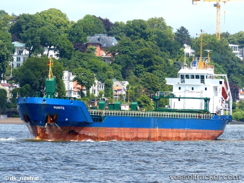
Vessel Nina IMO: 9277278, MMSI: 209075000 Multi Purpose Carrier
UTC, 56.46121, 10.06149, course: 241, speed: 0
UTC, 56.46124, 10.06148, course: 241, speed: 0
2026-01-30 08:06:47 UTC, 56.46125, 10.06146, course: 241, speed: 0
Live AIS position:
UTC. Near Randers),
updated 2026-01-30 08:06:47 UTC.
Find the position of the vessel Nina on the map. The latter are known coordinates and path.
marine traffic ship tracker show on live map
The current position of vessel Nina is 56.46125 lat / 10.06146 lng. Updated: 2026-01-30 08:06:47 UTCCurrently sailing under the flag of Cyprus
Nina built in 2003 year
Deadweight:
5751 tDetails:
Last coordinates of the vessel:
UTC, 56.46126, 10.06160, course: 241, speed: 0UTC, 56.46121, 10.06149, course: 241, speed: 0
UTC, 56.46124, 10.06148, course: 241, speed: 0
2026-01-30 08:06:47 UTC, 56.46125, 10.06146, course: 241, speed: 0