 vesseltracker.com
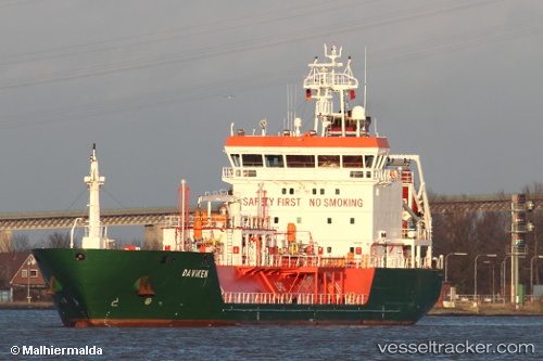
Find the position of the vessel B Gas Mariner on the map. The latter are known coordinates and path.
marine traffic ship tracker show on live map
The current position of vessel B Gas Mariner is 52.7757 lat / -5.6356 lng. Updated: 2025-04-19 15:15:48 UTCCurrently sailing under the flag of Malta
B Gas Mariner built in 2007 year
Port of registry:
Valletta (capital of Malta)Deadweight:
3811 tService entry:
2007-01-01T00:00:00ZDetails:
Last coordinates of the vessel:
UTC, 52.1737, -5.97263, course: 18, speed: 13.4UTC, 52.2557, -5.92846, course: 9, speed: 13.4
UTC, 52.4265, -5.84979, course: 25, speed: 12.8
2025-04-19 15:15:48 UTC, 52.7757, -5.6356, course: 15, speed: 11.3