 vesseltracker.com
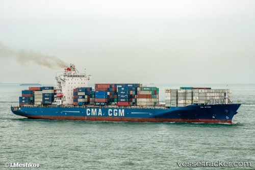
Find the position of the vessel Anl Wyong on the map. The latter are known coordinates and path.
marine traffic ship tracker show on live map
The current position of vessel Anl Wyong is 43.8317 lat / -9.70167 lng. Updated: 2025-10-26 11:24:25 UTCCurrently sailing under the flag of Malta
Anl Wyong built in 2008 year
Deadweight:
52000 tDetails:
Last coordinates of the vessel:
UTC, 44.2783, -8.76304, course: 237, speed: 16.2UTC, 44.1467, -9.05167, course: -1, speed: 16
UTC, 43.9083, -9.56167, course: -1, speed: 17
2025-10-26 11:24:25 UTC, 43.8317, -9.70167, course: -1, speed: 17