 vesseltracker.com
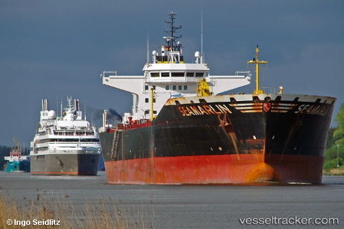
Find the position of the vessel Seamarlin on the map. The latter are known coordinates and path.
marine traffic ship tracker show on live map
The current position of vessel Seamarlin is 51.4622 lat / 0.267662 lng. Updated: 2025-07-24 15:34:53 UTCCurrently sailing under the flag of Germany
Seamarlin built in 2007 year
Deadweight:
40549 tDetails:
Last coordinates of the vessel:
UTC, 51.4622, 0.267662, course: 123, speed: 0UTC, 51.4622, 0.267662, course: 123, speed: 0
UTC, 51.4622, 0.267662, course: 123, speed: 0
2025-07-24 15:34:53 UTC, 51.4622, 0.267662, course: 123, speed: 0
Track of the vessel in the last 14 days
The ship also appears on the maps: