 vesseltracker.com
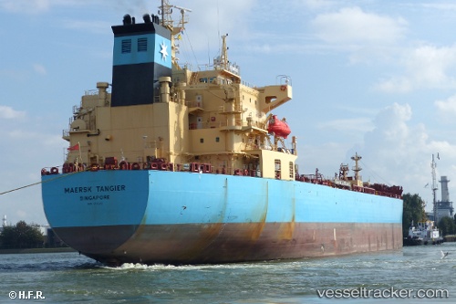
Find the position of the vessel Maersk Tangier on the map. The latter are known coordinates and path.
marine traffic ship tracker show on live map
The current position of vessel Maersk Tangier is 11.739196666667 lat / 101.33722833333 lng. Updated: 2025-09-13 20:03:43 UTCDetails:
Last coordinates of the vessel:
UTC, 12.200205, 101.082855, course: 161, speed: 9.1UTC, 12.11003, 101.12806, course: 140, speed: 9.6
UTC, 11.963801666667, 101.25196, course: 140, speed: 9.5
2025-09-13 20:03:43 UTC, 11.739196666667, 101.33722833333, course: 163, speed: 9.3