 vesseltracker.com
Live AIS position:
33.59205° S, 71.62052° W UTC. Near San Antonio),
updated 2025-11-19 23:04:01 UTC.
Find the position of the vessel Sally Maersk on the map. The latter are known coordinates and path.
marine traffic ship tracker show on live map
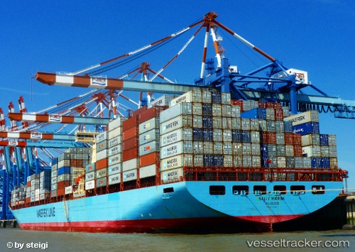
The current position of vessel Sally Maersk is -33.59205 lat / -71.62052 lng. Updated: 2025-11-19 23:04:01 UTCCurrently sailing under the flag of Denmark
Sally Maersk built in 1998 year
Deadweight:
110387 tDetails:
Last coordinates of the vessel:
UTC, -33.59206, -71.62055, course: 164, speed: 0UTC, -33.59205, -71.62053, course: 164, speed: 0
UTC, -33.59205, -71.62052, course: 164, speed: 0
2025-11-19 23:04:01 UTC, -33.59205, -71.62052, course: 164, speed: 0