 vesseltracker.com
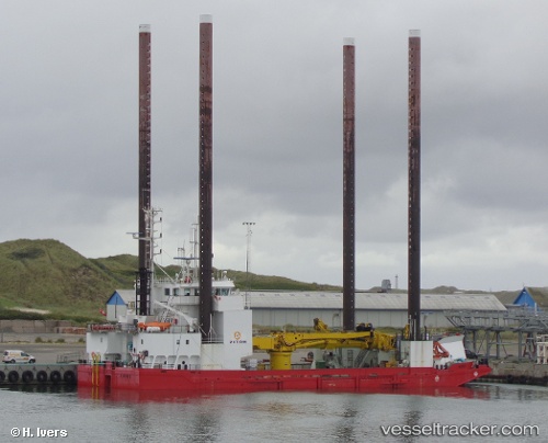
Vessel Wind IMO: 9107851, MMSI: 220520000 Service Ship
UTC, 52.18229, 1.64505, course: 29, speed: 0.1
UTC, 52.18167, 1.64333, course: -1, speed: 0
2026-01-28 10:08:25 UTC, 52.18167, 1.64333, course: -1, speed: 0
Live AIS position:
UTC. Near Thorpeness),
updated 2026-01-28 10:08:25 UTC.
Find the position of the vessel Wind on the map. The latter are known coordinates and path.
marine traffic ship tracker show on live map
The current position of vessel Wind is 52.18167 lat / 1.64333 lng. Updated: 2026-01-28 10:08:25 UTCCurrently sailing under the flag of Denmark
Wind built in 1996 year
Deadweight:
1463 tDetails:
Last coordinates of the vessel:
UTC, 52.18231, 1.64504, course: 30, speed: 0UTC, 52.18229, 1.64505, course: 29, speed: 0.1
UTC, 52.18167, 1.64333, course: -1, speed: 0
2026-01-28 10:08:25 UTC, 52.18167, 1.64333, course: -1, speed: 0