 vesseltracker.com
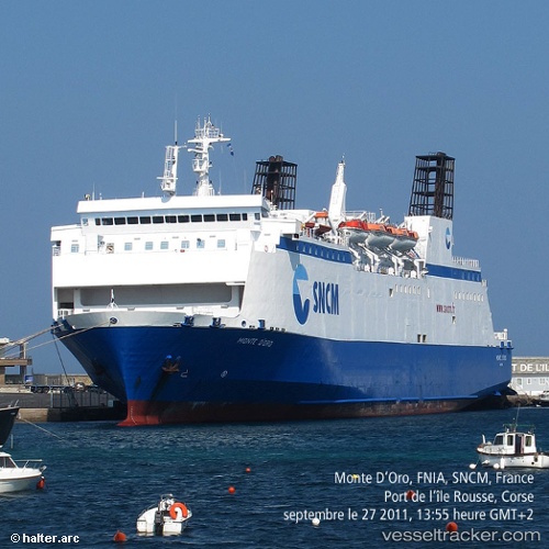
Find the position of the vessel Monte Doro on the map. The latter are known coordinates and path.
marine traffic ship tracker show on live map
The current position of vessel Monte Doro is 42.85921 lat / 7.00912 lng. Updated: 2025-09-26 22:32:14 UTCCurrently sailing under the flag of France
Monte Doro built in 1991 year
Deadweight:
4155 tDetails:
Last coordinates of the vessel:
UTC, 42.95974, 6.16072, course: 103, speed: 16.3UTC, 42.91333, 6.56833, course: -1, speed: 16
UTC, 42.89305, 6.70128, course: 100, speed: 16.4
2025-09-26 22:32:14 UTC, 42.85921, 7.00912, course: 95, speed: 13.9