 vesseltracker.com
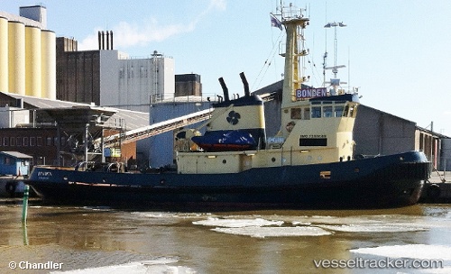
Vessel Hurtig IMO: 7388669, MMSI: 230677000 Tug
UTC, 60.79609, 21.34348, course: 239, speed: 0
UTC, 60.79607, 21.34347, course: 240, speed: 0
2026-01-28 06:07:56 UTC, 60.79606, 21.34348, course: 240, speed: 0
Live AIS position:
UTC. Near Uusikaupunki),
updated 2026-01-28 06:07:56 UTC.
Find the position of the vessel Hurtig on the map. The latter are known coordinates and path.
marine traffic ship tracker show on live map
The current position of vessel Hurtig is 60.79606 lat / 21.34348 lng. Updated: 2026-01-28 06:07:56 UTCDetails:
Last coordinates of the vessel:
UTC, 60.79608, 21.34340, course: 239, speed: 0UTC, 60.79609, 21.34348, course: 239, speed: 0
UTC, 60.79607, 21.34347, course: 240, speed: 0
2026-01-28 06:07:56 UTC, 60.79606, 21.34348, course: 240, speed: 0