 vesseltracker.com
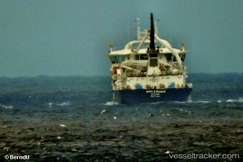
Find the position of the vessel Hans A Bakka on the map. The latter are known coordinates and path.
marine traffic ship tracker show on live map
The current position of vessel Hans A Bakka is 61.5022 lat / -6.72165 lng. Updated: 2025-06-01 21:28:40 UTCCurrently sailing under the flag of Faroe Is
Port of registry:
Glyvrar (settlement on Eysturoy, Faroe Islands)Payload_mass:
3700 tonneGross tonnage:
3564Service entry:
2015-01-01T00:00:00ZManufacturer:
Tersan ShipyardDetails:
Last coordinates of the vessel:
UTC, 61.4719, -6.80679, course: 273, speed: 0UTC, 61.47, -6.79224, course: 116, speed: 6.5
UTC, 61.5022, -6.72165, course: 241, speed: 0
2025-06-01 21:28:40 UTC, 61.5022, -6.72165, course: 241, speed: 0