 vesseltracker.com
Find the position of the vessel Mare Di Levante on the map. The latter are known coordinates and path.
marine traffic ship tracker show on live map
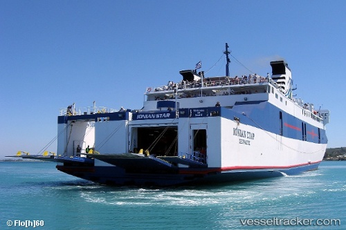
The current position of vessel Mare Di Levante is 37.80594 lat / 20.93610 lng. Updated: 2025-10-13 11:17:24 UTCCurrently sailing under the flag of Greece
Mare Di Levante built in 1984 year
Deadweight:
2485 tDetails:
Last coordinates of the vessel:
UTC, 37.93497, 21.09761, course: -1, speed: 16.1UTC, 37.95052, 21.14554, course: -1, speed: 13.4
UTC, 37.78073, 20.90171, course: -1, speed: 0
2025-10-13 11:17:24 UTC, 37.80594, 20.93610, course: -1, speed: 15.7