 vesseltracker.com
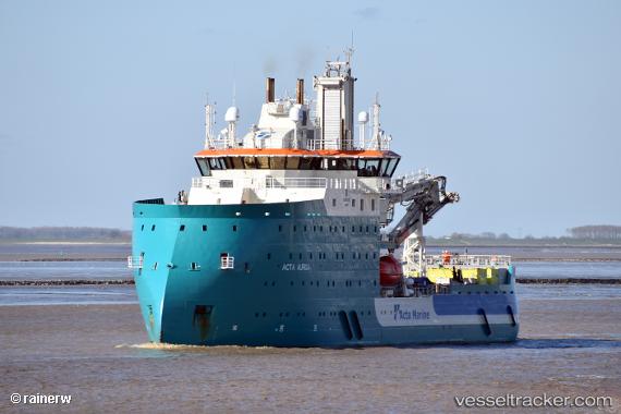
Vessel Acta Auriga IMO: 9822815, MMSI: 244090781 Offshore Support Vessel
UTC, 55.15560, 7.16440, course: 126, speed: 0.3
UTC, 55.15540, 7.16430, course: 117, speed: 0.4
2026-01-31 13:27:45 UTC, 55.15560, 7.16413, course: 119, speed: 0.3
Live AIS position:
UTC. 41 nm SW of Blavand),
updated 2026-01-31 13:27:45 UTC.
Find the position of the vessel Acta Auriga on the map. The latter are known coordinates and path.
marine traffic ship tracker show on live map
The current position of vessel Acta Auriga is 55.15560 lat / 7.16413 lng. Updated: 2026-01-31 13:27:45 UTCCurrently sailing under the flag of Netherlands
Details:
Last coordinates of the vessel:
UTC, 55.15432, 7.16922, course: 115, speed: 0.3UTC, 55.15560, 7.16440, course: 126, speed: 0.3
UTC, 55.15540, 7.16430, course: 117, speed: 0.4
2026-01-31 13:27:45 UTC, 55.15560, 7.16413, course: 119, speed: 0.3