 vesseltracker.com
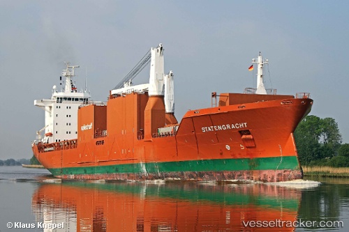
Find the position of the vessel Statengracht on the map. The latter are known coordinates and path.
marine traffic ship tracker show on live map
The current position of vessel Statengracht is 25.9517 lat / -97.3972 lng. Updated: 2025-07-05 13:25:35 UTCCurrently sailing under the flag of Netherlands
Statengracht built in 2004 year
Deadweight:
21250 tPayload_mass:
21250 tonneGross tonnage:
16676Beam:
25.65 metreManufacturer:
Szczecin Shipyard (former shipyard in Poland).jpg)
Details:
Last coordinates of the vessel:
UTC, 25.9517, -97.3972, course: 70, speed: 0UTC, 25.9517, -97.3972, course: 70, speed: 0
UTC, 25.9517, -97.3972, course: 70, speed: 0
2025-07-05 13:25:35 UTC, 25.9517, -97.3972, course: 69, speed: 0