 vesseltracker.com
Find the position of the vessel Longrun on the map. The latter are known coordinates and path.
marine traffic ship tracker show on live map
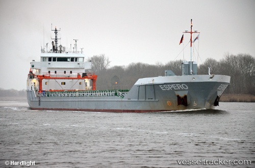
The current position of vessel Longrun is 35.9349 lat / 0.0752083 lng. Updated: 2025-05-10 14:25:25 UTCCurrently sailing under the flag of Netherlands
Longrun built in 2013 year
Port of registry:
Groningen (capital city of the province of Groningen, the Netherlands)Speed:
11.5 knotDeadweight:
5500 tPayload_mass:
5641 tonneGross tonnage:
3603Service entry:
2013-01-01T00:00:00ZDetails:
Last coordinates of the vessel:
UTC, 35.9349, 0.075235, course: 128, speed: 0UTC, 35.9349, 0.0752217, course: 128, speed: 0
UTC, 35.9349, 0.0752433, course: 128, speed: 0
2025-05-10 14:25:25 UTC, 35.9349, 0.0752083, course: 128, speed: 0