 vesseltracker.com
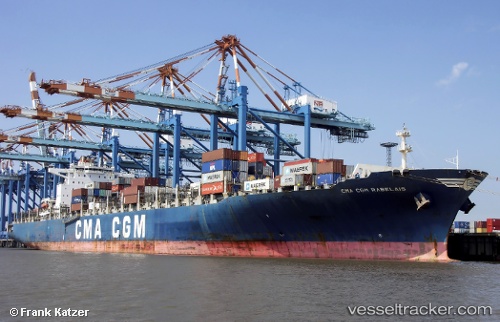
Find the position of the vessel CMA CGM RABELAIS on the map. The latter are known coordinates and path.
marine traffic ship tracker show on live map
The current position of vessel CMA CGM RABELAIS is 18.42465 lat / -69.630416666667 lng. Updated: 2025-09-13 00:22:55 UTCCurrently sailing under the flag of Malta
CMA CGM RABELAIS built in 2010 year
Deadweight:
83317 tDetails:
Last coordinates of the vessel:
UTC, 18.424466666667, -69.630316666667, course: 349, speed: 0UTC, 18.424566666667, -69.630416666667, course: 349, speed: 0
UTC, 18.424566666667, -69.6304, course: 349, speed: 0
2025-09-13 00:22:55 UTC, 18.42465, -69.630416666667, course: 349, speed: 0