 vesseltracker.com
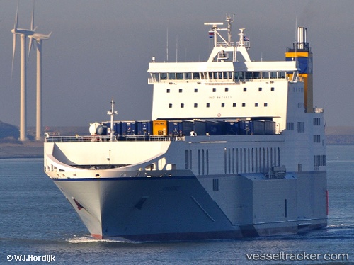
Find the position of the vessel Amandine on the map. The latter are known coordinates and path.
marine traffic ship tracker show on live map
The current position of vessel Amandine is 54.5991 lat / -1.14928 lng. Updated: 2025-09-07 09:22:09 UTCCurrently sailing under the flag of Malta
Amandine built in 2011 year
Deadweight:
13428 tDetails:
Last coordinates of the vessel:
UTC, 54.4067, -0.30929, course: 316, speed: 17.7UTC, 54.5059, -0.473757, course: 317, speed: 18.2
UTC, 54.6674, -1.01368, course: 259, speed: 9.8
2025-09-07 09:22:09 UTC, 54.5991, -1.14928, course: 292, speed: 0