 vesseltracker.com
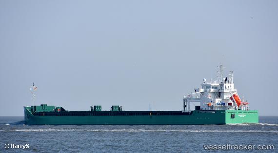
Vessel Arklow Wind IMO: 9818943, MMSI: 250005461 General Cargo Ship
UTC, 50.39908, -6.25098, course: 118, speed: 11.7
UTC, 50.00678, -5.98538, course: 180, speed: 12.4
2026-02-01 19:44:21 UTC, 49.91327, -5.57502, course: 88, speed: 11.4
Live AIS position:
UTC. Near Porthgwarra),
updated 2026-02-01 19:44:21 UTC.
Find the position of the vessel Arklow Wind on the map. The latter are known coordinates and path.
marine traffic ship tracker show on live map
The current position of vessel Arklow Wind is 49.91327 lat / -5.57502 lng. Updated: 2026-02-01 19:44:21 UTCCurrently sailing under the flag of Ireland
Details:
Last coordinates of the vessel:
UTC, 50.47864, -6.56201, course: 115, speed: 11.2UTC, 50.39908, -6.25098, course: 118, speed: 11.7
UTC, 50.00678, -5.98538, course: 180, speed: 12.4
2026-02-01 19:44:21 UTC, 49.91327, -5.57502, course: 88, speed: 11.4