 vesseltracker.com
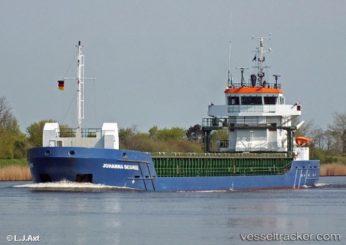
Vessel Rosi IMO: 9517238, MMSI: 255805952 General Cargo Ship
UTC, 47.28838, -2.19839, course: 10, speed: 0
UTC, 47.28844, -2.19836, course: 10, speed: 0
2026-01-28 12:15:31 UTC, 47.28842, -2.19842, course: 10, speed: 0
Live AIS position:
UTC. Near ST NAZAIRE),
updated 2026-01-28 12:15:31 UTC.
Find the position of the vessel Rosi on the map. The latter are known coordinates and path.
marine traffic ship tracker show on live map
The current position of vessel Rosi is 47.28842 lat / -2.19842 lng. Updated: 2026-01-28 12:15:31 UTCCurrently sailing under the flag of Portugal
Rosi built in 2010 year
Deadweight:
3850 tDetails:
Last coordinates of the vessel:
UTC, 47.28844, -2.19840, course: 10, speed: 0UTC, 47.28838, -2.19839, course: 10, speed: 0
UTC, 47.28844, -2.19836, course: 10, speed: 0
2026-01-28 12:15:31 UTC, 47.28842, -2.19842, course: 10, speed: 0