 vesseltracker.com
Find the position of the vessel 255806469 on the map. The latter are known coordinates and path.
marine traffic ship tracker show on live map
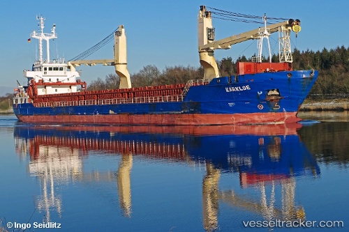
The current position of vessel 255806469 is 63.3186 lat / 19.1552 lng. Updated: 2025-04-15 05:35:39 UTCPort of registry:
Monrovia (capital city of Liberia)Payload_mass:
5653 tonneGross tonnage:
4220Beam:
15 metreService entry:
2011-01-01T00:00:00ZDetails:
Last coordinates of the vessel:
UTC, 63.3033, 19.3133, course: 269, speed: 8.3UTC, 63.3038, 19.2067, course: 273, speed: 9.3
UTC, 63.3186, 19.1552, course: 356, speed: 0
2025-04-15 05:35:39 UTC, 63.3186, 19.1552, course: 356, speed: 0