 vesseltracker.com
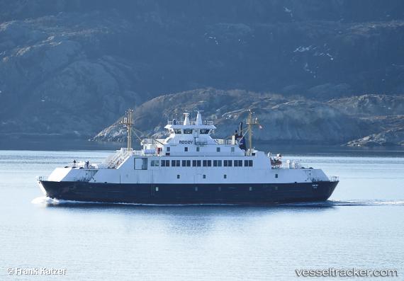
Vessel Rodoy IMO: 9030357, MMSI: 257230000 Passenger Ro Ro Cargo Ship
UTC, 69.52781, 17.93516, course: 15, speed: 11.2
UTC, 69.52530, 17.93355, course: 194, speed: 10.5
2026-01-13 09:23:26 UTC, 69.50691, 17.90948, course: 270, speed: 0
Live AIS position:
UTC. Near BOTNHAMN),
updated 2026-01-13 09:23:26 UTC.
Find the position of the vessel Rodoy on the map. The latter are known coordinates and path.
marine traffic ship tracker show on live map
The current position of vessel Rodoy is 69.50691 lat / 17.90948 lng. Updated: 2026-01-13 09:23:26 UTCCurrently sailing under the flag of Norway
Details:
Last coordinates of the vessel:
UTC, 69.50689, 17.90949, course: 271, speed: 0UTC, 69.52781, 17.93516, course: 15, speed: 11.2
UTC, 69.52530, 17.93355, course: 194, speed: 10.5
2026-01-13 09:23:26 UTC, 69.50691, 17.90948, course: 270, speed: 0