 vesseltracker.com
Find the position of the vessel Roesund on the map. The latter are known coordinates and path.
marine traffic ship tracker show on live map
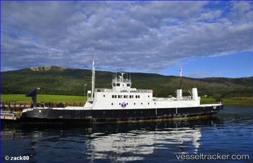
The current position of vessel Roesund is 69.67230 lat / 18.74885 lng. Updated: 2025-11-11 09:40:05 UTCCurrently sailing under the flag of Norway
Roesund built in 1977 year
Deadweight:
100 tDetails:
Last coordinates of the vessel:
UTC, 69.67225, 18.74886, course: 0, speed: 0UTC, 69.67226, 18.74887, course: -1, speed: 0
UTC, 69.67231, 18.74875, course: -1, speed: 0
2025-11-11 09:40:05 UTC, 69.67230, 18.74885, course: -1, speed: 0