 vesseltracker.com
Live AIS position:
59.61069° N, 5.24172° E UTC. Near LANGEVAG),
updated 2025-11-22 07:57:38 UTC.
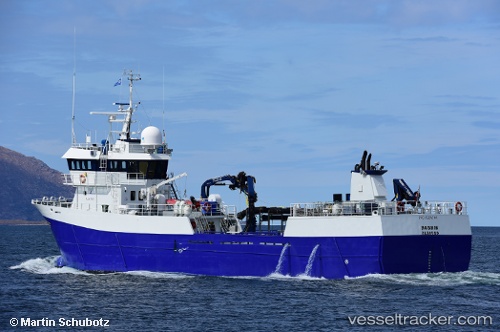
Find the position of the vessel Robris on the map. The latter are known coordinates and path.
marine traffic ship tracker show on live map
The current position of vessel Robris is 59.61069 lat / 5.24172 lng. Updated: 2025-11-22 07:57:38 UTCCurrently sailing under the flag of Norway
Robris built in 1999 year
Deadweight:
500 tDetails:
Last coordinates of the vessel:
UTC, 59.61174, 5.24202, course: 16, speed: 1UTC, 59.61070, 5.24169, course: 27, speed: 0
UTC, 59.61071, 5.24174, course: 29, speed: 0
2025-11-22 07:57:38 UTC, 59.61069, 5.24172, course: 28, speed: 0