 vesseltracker.com
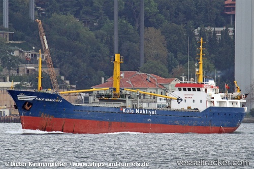
Find the position of the vessel Kale Nakliyat 4 on the map. The latter are known coordinates and path.
marine traffic ship tracker show on live map
The current position of vessel Kale Nakliyat 4 is 40.64673 lat / 27.56189 lng. Updated: 2025-10-02 11:23:11 UTCDetails:
Last coordinates of the vessel:
UTC, 40.64681, 27.56187, course: -1, speed: 0.6UTC, 40.64648, 27.56204, course: -1, speed: 0.6
UTC, 40.64608, 27.56234, course: -1, speed: 0.3
2025-10-02 11:23:11 UTC, 40.64673, 27.56189, course: -1, speed: 0.3