 vesseltracker.com
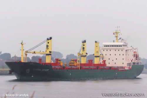
Find the position of the vessel HC JETTE MARIT on the map. The latter are known coordinates and path.
marine traffic ship tracker show on live map
The current position of vessel HC JETTE MARIT is 40.76394 lat / 29.63418 lng. Updated: 2025-10-06 15:46:48 UTCCurrently sailing under the flag of Antigua Barbuda
HC JETTE MARIT built in 2009 year
Deadweight:
22108 tDetails:
Last coordinates of the vessel:
UTC, 40.76407, 29.63425, course: 91, speed: 0UTC, 40.76382, 29.63424, course: 73, speed: 0
UTC, 40.76382, 29.63435, course: 81, speed: 0
2025-10-06 15:46:48 UTC, 40.76394, 29.63418, course: 82, speed: 0