 vesseltracker.com
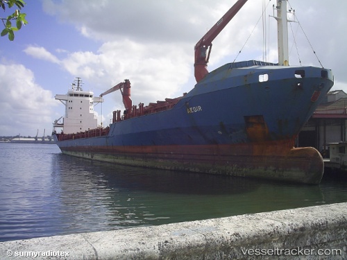
Vessel San Pedro Calungsod IMO: 9162095, MMSI: 304509000 Container Ship
UTC, 17.96869, -66.62999, course: 73, speed: 0
UTC, 17.96956, -66.62998, course: 117, speed: 0
2026-01-28 16:21:14 UTC, 17.97007, -66.62956, course: 141, speed: 0
Live AIS position:
UTC. Near Ponce),
updated 2026-01-28 16:21:14 UTC.
Find the position of the vessel San Pedro Calungsod on the map. The latter are known coordinates and path.
marine traffic ship tracker show on live map
The current position of vessel San Pedro Calungsod is 17.97007 lat / -66.62956 lng. Updated: 2026-01-28 16:21:14 UTCCurrently sailing under the flag of Antigua Barbuda
Details:
Last coordinates of the vessel:
UTC, 17.96840, -66.62996, course: 60, speed: 0UTC, 17.96869, -66.62999, course: 73, speed: 0
UTC, 17.96956, -66.62998, course: 117, speed: 0
2026-01-28 16:21:14 UTC, 17.97007, -66.62956, course: 141, speed: 0