 vesseltracker.com
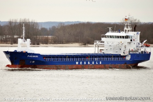
Find the position of the vessel Blue Six on the map. The latter are known coordinates and path.
marine traffic ship tracker show on live map
The current position of vessel Blue Six is 53.7314 lat / -0.358087 lng. Updated: 2025-09-02 12:19:41 UTCCurrently sailing under the flag of Antigua Barbuda
Blue Six built in 2007 year
Deadweight:
4251 tDetails:
Last coordinates of the vessel:
UTC, 53.7314, -0.35808, course: 245, speed: 0UTC, 53.7314, -0.358077, course: 243, speed: 0
UTC, 53.7314, -0.358082, course: 246, speed: 0
2025-09-02 12:19:41 UTC, 53.7314, -0.358087, course: 244, speed: 0