 vesseltracker.com
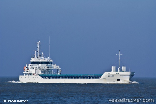
Find the position of the vessel KATARIINA on the map. The latter are known coordinates and path.
marine traffic ship tracker show on live map
The current position of vessel KATARIINA is 56.52522 lat / 20.99581 lng. Updated: 2025-10-25 00:40:22 UTCCurrently sailing under the flag of Antigua and Barbuda
KATARIINA built in 2011 year
Deadweight:
4114 tDetails:
Last coordinates of the vessel:
UTC, 56.52526, 20.99586, course: 181, speed: 0UTC, 56.52524, 20.99584, course: 181, speed: 0
UTC, 56.52519, 20.99595, course: 181, speed: 0
2025-10-25 00:40:22 UTC, 56.52522, 20.99581, course: 181, speed: 0
Track of the vessel in the last 14 days
The ship also appears on the maps: