 vesseltracker.com
Live AIS position:
42.73667° S, 65.02167° W UTC. Near Puerto Madryn),
updated 2025-11-23 13:08:15 UTC.
Find the position of the vessel TEAL ARROW on the map. The latter are known coordinates and path.
marine traffic ship tracker show on live map
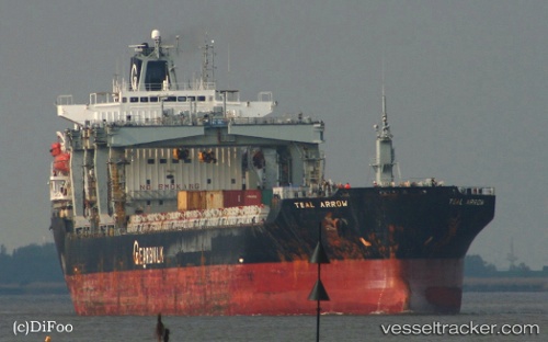
The current position of vessel TEAL ARROW is -42.73667 lat / -65.02167 lng. Updated: 2025-11-23 13:08:15 UTCCurrently sailing under the flag of Bahamas
TEAL ARROW built in 1999 year
Deadweight:
36466 tDetails:
Last coordinates of the vessel:
UTC, -42.73667, -65.02167, course: -1, speed: 0UTC, -42.73667, -65.02167, course: -1, speed: 0
UTC, -42.73667, -65.02167, course: -1, speed: 0
2025-11-23 13:08:15 UTC, -42.73667, -65.02167, course: -1, speed: 0