 vesseltracker.com
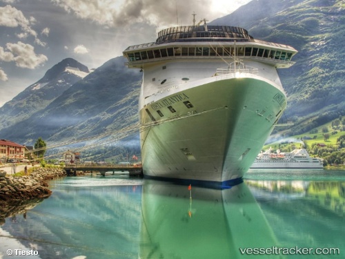
Vessel '311001063' IMO: 9187796, MMSI: 311001063
UTC, 18.46033, -77.93838, course: 90, speed: 0
UTC, 18.55333, -78.20333, course: -1, speed: 17
2026-01-28 00:10:29 UTC, 18.67768, -78.92959, course: 284, speed: 16.5
Live AIS position:
UTC. 50 nm W of Sandy Bay),
updated 2026-01-28 00:10:29 UTC.
Find the position of the vessel '311001063' on the map. The latter are known coordinates and path.
marine traffic ship tracker show on live map
The current position of vessel '311001063' is 18.67768 lat / -78.92959 lng. Updated: 2026-01-28 00:10:29 UTCDetails:
Last coordinates of the vessel:
UTC, 18.46033, -77.93840, course: 90, speed: 0UTC, 18.46033, -77.93838, course: 90, speed: 0
UTC, 18.55333, -78.20333, course: -1, speed: 17
2026-01-28 00:10:29 UTC, 18.67768, -78.92959, course: 284, speed: 16.5