 vesseltracker.com
Find the position of the vessel Yama Haru on the map. The latter are known coordinates and path.
marine traffic ship tracker show on live map
The current position of vessel Yama Haru is 40.41432 lat / 29.07651 lng. Updated: 2025-11-13 05:33:49 UTCCurrently sailing under the flag of Belize
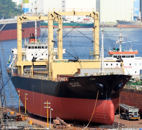
Yama Haru built in 1995 year
Deadweight:
7449 tDetails:
Last coordinates of the vessel:
UTC, 40.41430, 29.07650, course: 87, speed: 0UTC, 40.41431, 29.07650, course: 86, speed: 0
UTC, 40.41430, 29.07651, course: 86, speed: 0
2025-11-13 05:33:49 UTC, 40.41432, 29.07651, course: 86, speed: 0