 vesseltracker.com
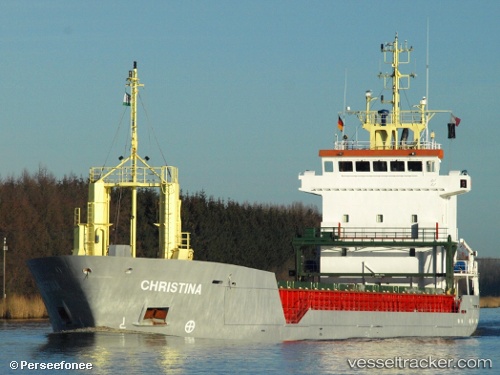
Vessel DAY BLUE IMO: 9184811, MMSI: 314664000 General Cargo Ship
UTC, 38.45572, 23.58964, course: 0, speed: 0
UTC, 38.45572, 23.58964, course: 0, speed: 0
2026-01-29 10:03:57 UTC, 38.45572, 23.58964, course: 0, speed: 0
Live AIS position:
UTC. Near Khalkis),
updated 2026-01-29 10:03:57 UTC.
Find the position of the vessel DAY BLUE on the map. The latter are known coordinates and path.
marine traffic ship tracker show on live map
The current position of vessel DAY BLUE is 38.45572 lat / 23.58964 lng. Updated: 2026-01-29 10:03:57 UTCCurrently sailing under the flag of Barbados
DAY BLUE built in 1998 year
Deadweight:
4743 tDetails:
Last coordinates of the vessel:
UTC, 38.45575, 23.58966, course: 359, speed: 0UTC, 38.45572, 23.58964, course: 0, speed: 0
UTC, 38.45572, 23.58964, course: 0, speed: 0
2026-01-29 10:03:57 UTC, 38.45572, 23.58964, course: 0, speed: 0