 vesseltracker.com
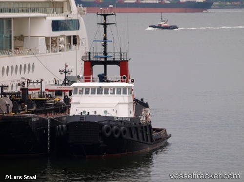
Find the position of the vessel Island Tugger on the map. The latter are known coordinates and path.
marine traffic ship tracker show on live map
The current position of vessel Island Tugger is 50.7913 lat / -128.735 lng. Updated: 2025-07-27 09:16:35 UTCDetails:
Last coordinates of the vessel:
UTC, 50.211, -128.206, course: 332, speed: 11.1UTC, 50.485, -128.453, course: -1, speed: 10
UTC, 50.6362, -128.589, course: 327, speed: 11
2025-07-27 09:16:35 UTC, 50.7913, -128.735, course: 333, speed: 11.3